A common miscalculation on Eugene construction sites occurs when contractors assume the alluvial soils of the Willamette Valley will behave uniformly during deep cuts. The reality is starkly different: water table levels fluctuate seasonally in the southern Willamette floodplain, and the sandy gravels interspersed with silt lenses can lose apparent cohesion rapidly once excavation reaches depths exceeding 15 feet. More than one downtown project has experienced costly rework because lateral movement was not tracked continuously during foundation preparation. Geotechnical excavation monitoring in Eugene provides the instrumentation and interpretation that civil engineers rely on to prevent this kind of failure, capturing displacement data that visual inspection simply cannot detect. When paired with a detailed grain-size analysis of the excavated material, the monitoring plan becomes a predictive tool rather than a reactive one.
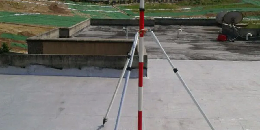
Real-time inclinometer data near the Willamette floodplain can reveal lateral drift patterns that conventional surveying misses between weekly site visits.